Data
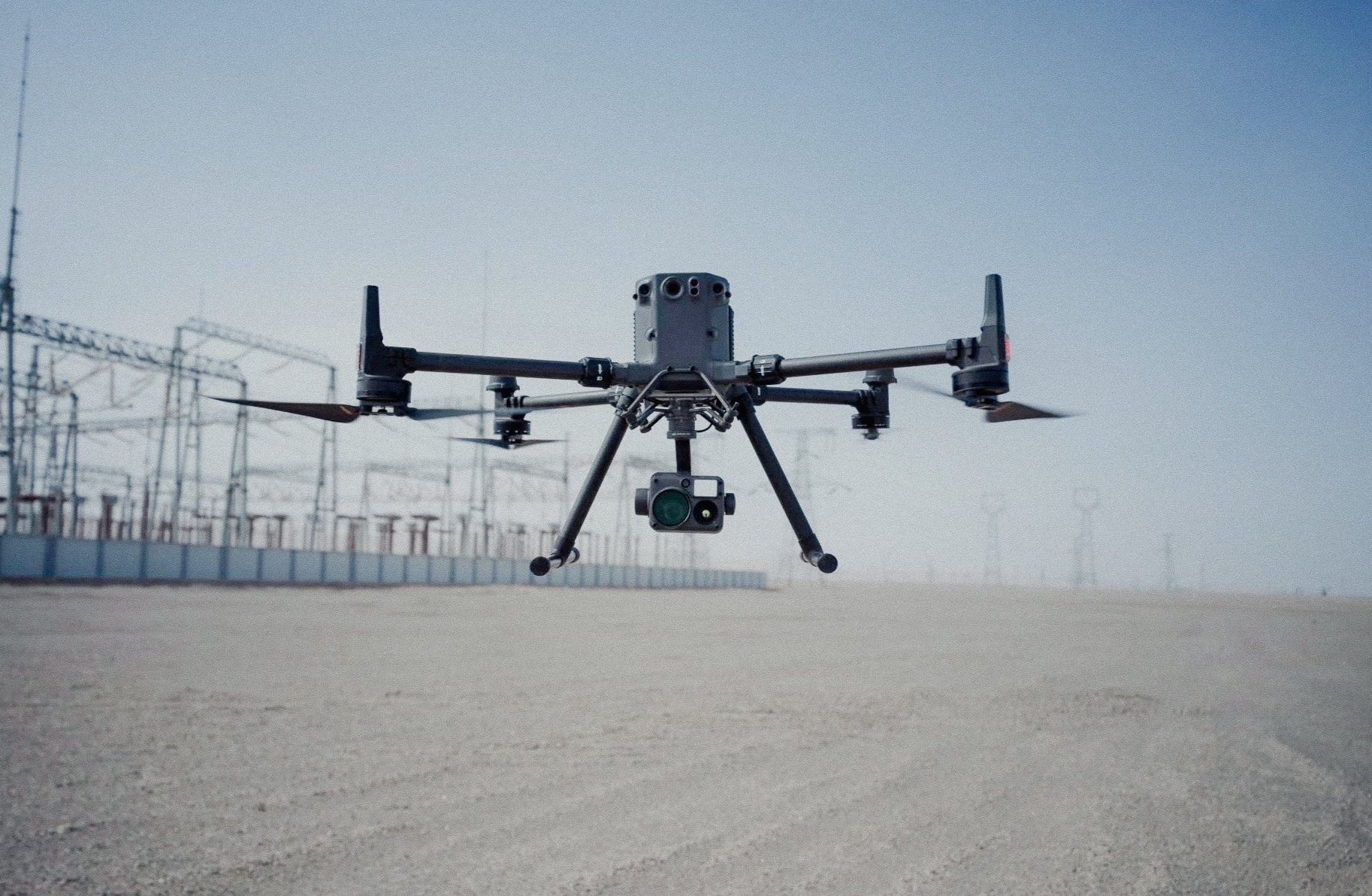
Aerial Data Acquisition
With a broad experience utilizing various aircraft and payloads FlyLifeCo can provide a safer, more efficient solution to your acquisition needs.
Services
-
Consulting
No matter the stage of your project we can help optimize your UAV data collection for better data with less time in the field.

-
Operations
If all you want to worry about is the the data then let us take care of the rest. Logistics, gear, mission planning, execution.

-
Systems
From payload integration to aircraft maintenance and programing. We take care of the aircraft side.

Low Altitude
We understand that certain payloads need to be flown at low altitude in demanding terrain. With precise mission planning and positioning experience we make operations down to 2m AGL possible.
Payloads
MAGNETOMETER
EM
LiDAR
THERMAL
RGB
Terrain Following
Using the latest LiDAR and Radar range finders we ensure the payload stays at the constant altitude you need to acquire accurate Geophysical data.
Aircraft
DJI M300/350
ARCSKY 55
IF1200A
HARRIS H6
SKYFRONT P8
